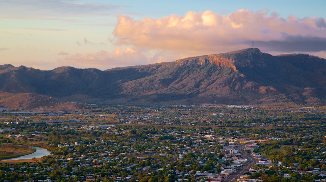
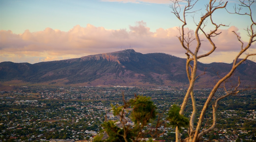
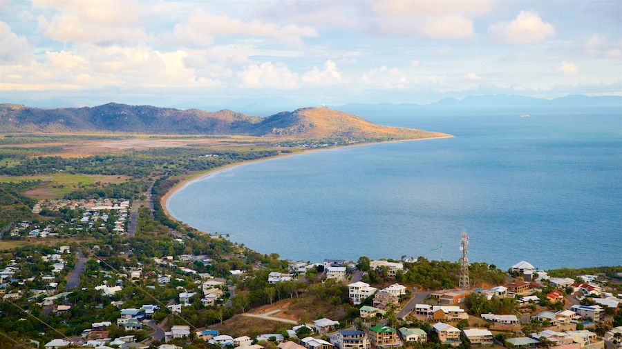
Mount Stuart is 1,916 feet (584 meters) high, providing Townsville’s highest lookout point. Townsville residents regularly come here to jog, hike or ride up to the summit. Join them on the winding road to the top and stand on the viewing platform for magnificent vistas.
You can drive up the mountain along Mount Stuart Road, which takes less than 15 minutes. If you decide to go on foot, follow the same road until you reach the telecommunications towers at the top. Allow 3-4 hours for the return trip and remember that this is the tropics, so bring plenty of water and wear protective clothing.
Experienced mountain bikers will enjoy the mountain’s rocky and downhill bike trails, with varying grades to choose from. Avid rock climbers can tackle the climbing routes, which have enticing names and require different skill levels. Get local advice before you go and make the most of the cooler conditions during the shade of the afternoons.
Once you reach the Rotary Lookout, you’ll be rewarded with panoramic views across Townsville. Beyond the city’s central Castle Hill you can see Magnetic Island in Cleveland Bay.
The mountain was named after the area’s first district surveyor, Clarendon Stuart, and you can just imagine him standing here, mapping out the land and bays. Take some lunch with you and have a picnic near the lookout. Native brush turkeys may appear, in search of food scraps.
If you are up for a short walk, follow the Loop Trail. This narrow bush track runs all around the summit. On the westside, look down on the blue waters of Ross Dam, Townsville’s flood mitigation and water storage facility.
Mount Stuart lies southwest of Townsville, just off the Flinders Highway. Facilities at the top are limited, so cover yourself against the sun and bring water to prevent dehydration. Be aware that part of the mountain is Army Training Ground, with the Lavarack Barracks set in its foothills, so stay on the marked tracks at all times.
